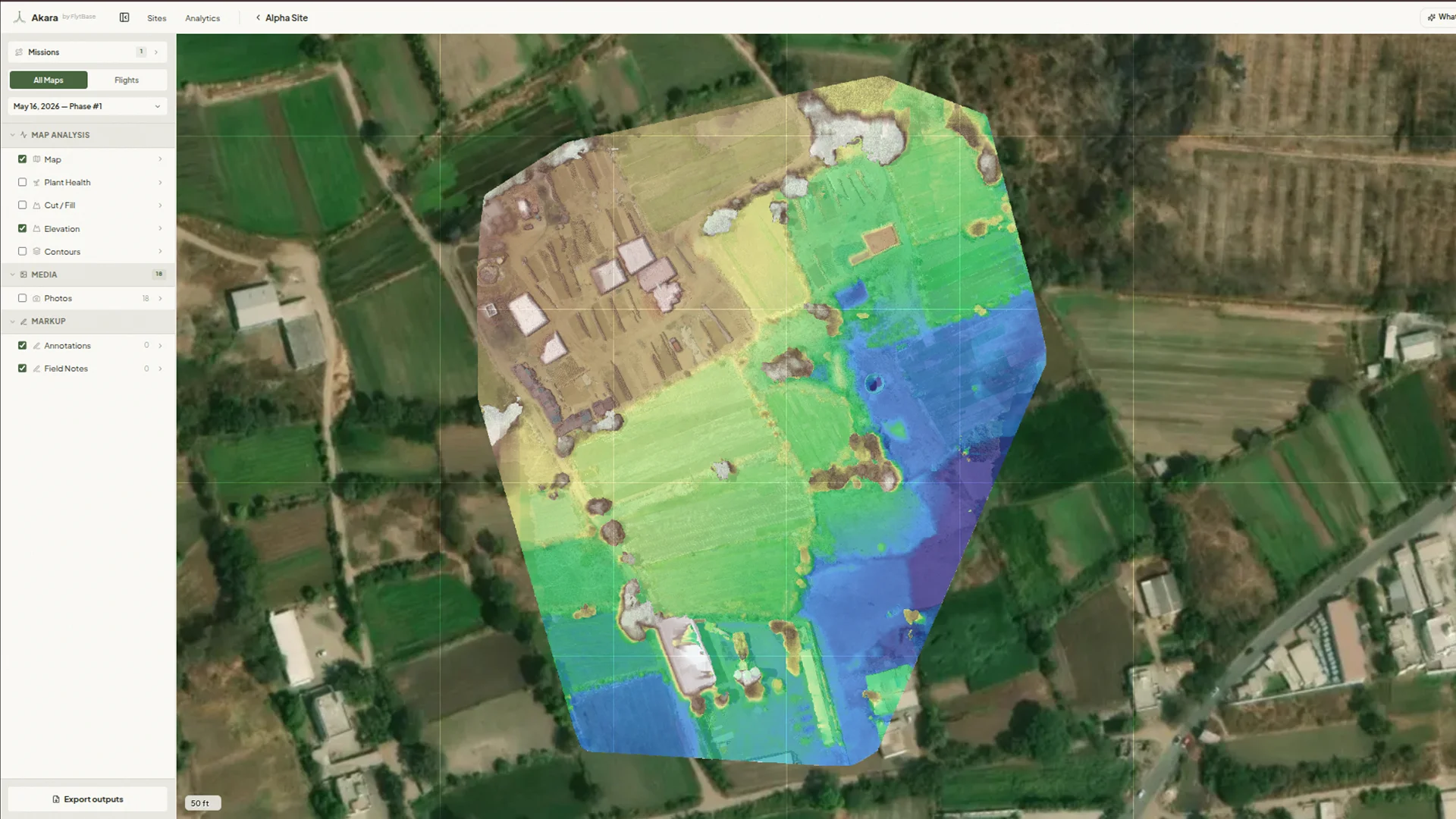
Most drone programs already fly hundreds of frames per mission. The team needs maps, volumes, and overlays from that footage. The path from raw footage to a usable map is too slow. Imagery sits in folders, decisions get pushed, the next flight goes anyway. Akara closes that gap inside FlytBase. Every flight becomes orthomosaics, 3D models, NDVI overlays, or stockpile volumes. The team plans tomorrow's mission against today's map.
The flight completes, the imagery flows into Akara automatically. The operator clicks once to start processing. Orthomosaic, DSM, DTM, point cloud, and 3D mesh render live. The finished map lands on the FlytBase operator console. For recurring sites, even the click goes away. Every scheduled flight ends with a map ready to act on.