Get Your Free Drone Autonomy Guide Today!

On 24th of March, 2020, owing to an increasing number of COVID-19 cases, the Government of India under Prime Minister Narendra Modi, ordered a nationwide lock-down for a period of 21 days. The order followed a 14-hour voluntary curfew on 22nd of March, where the Hon'ble Prime Minister urged the citizens of the country to observe and maintain social distancing.
How FlytBase Enabled Aerial Monitoring for Police Forces in India during COVID-19 Lockdowns
With 500 active cases by then, this decision was taken as a preventive measure to tackle the pandemic or as experts call it ‘to flatten the curve’ of the spread of novel coronavirus infections in India. The lock-down, a fallout of the measure, limited the movement of India’s 1.3 billion people.
Due to the restrictions on nearly all commercial operations, schools, colleges, and offices were quick to shut down and people were asked to carry out activities from the safety of their homes. All modes of transportation, except for emergency situations, were also brought to a staggering halt.
However, amidst this, one major challenge that the authorities faced, ever since the announcement, was to make people abide by the rules. Identifying people who violate the lockdown restrictions and instead move about freely (thus posing a threat of infection to others) became a daunting task for the police force.
{{pdf-form}}
Drones: India’s Ally in the Fight Against COVID-19
In order to show solidarity with this national priority and to provide the authorities with a set of extra eyes, various drone startups and hobbyists in India immediately extended their support in the fight against COVID-19. They soon formed a nationwide network and became active in almost all the states which had a relatively large number of infected cases: Maharashtra, Karnataka, Tamil Nadu, Kerala, Andhra Pradesh, Telangana, Odisha, West Bengal, Assam, Meghalaya, Nagaland, Madhya Pradesh, Rajasthan, Haryana, Punjab, and Delhi NCR.
Local drone teams sprung into action to support local and state governments and to help ensure that drone flights are planned well, executed safely and logged correctly.

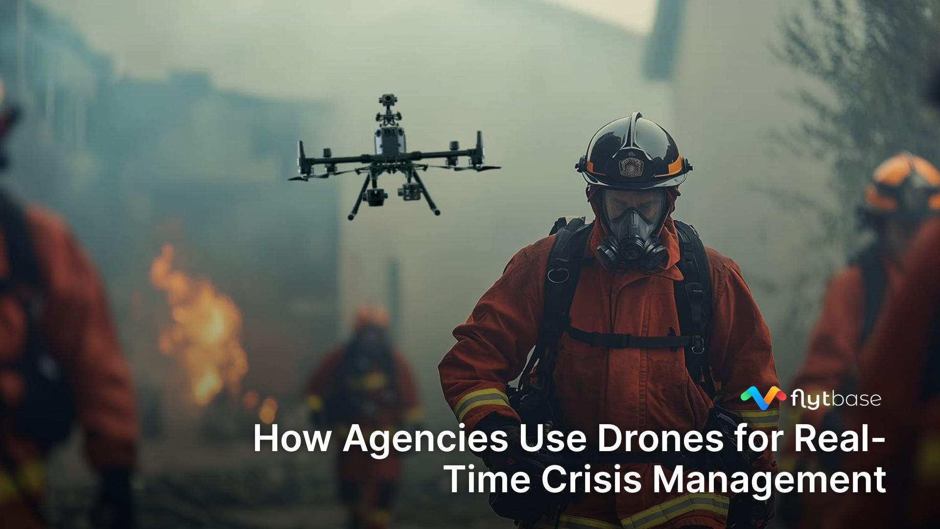
With help from these local teams, public safety authorities started relying on drones for aerial monitoring. Deployed in the bustling areas of the city, drones assisted police personnel to track and warn the people who violated lockdown norms. By providing situational awareness on a near real-time basis, drones enabled the police to make lockdown-related announcements and better organize their ground forces to monitor the situation in congested areas of the city.
Flattening The Curve in India
The primary objective of using drones was to prevent the rapid spread of COVID-19 thus flattening the curve of the infection, and apart from this, drones had to be used in a safe & secure manner without violating individual privacy.
To aid this mission, FlytBase supported the task force with its readily deployable solution, FlytBase in carrying out live, remote drone operations - from central command centers, thus involving the relevant stakeholders.
Success Story: How Drones Transformed Security & Patrols
In Gujarat, Dronelab worked alongside the state government to monitor public places and markets. Under their guidance, more than 200 drone operators were mobilized across different cities in Gujarat.
Initially following a decentralized approach, small teams operated independently in different cities and localities with the help from local police. But Dronelab soon realized that they have to move towards a centralized model since the primary objective of using these drones was to identify crowds and intimate police control rooms while the flight is still in process in order to take necessary action.
Employing the cloud-connected FlytBase solution, Dronelab, with the support from the Gujarat Police Department, established its first command center in the city of Ahmedabad. After a successful trial, the city police began using UAVs to monitor various parts of the city. FlytBase thus enabled the police to stream live multi-video feeds from all the drones to their control room thus enabling them to respond quickly to emergencies.

The system also allowed drone operators to help the police while being confined in their homes, eliminating the need to be present on the field. Whenever a request was triggered, operators could fly a drone from their home terrace and stream the video feed directly to the central dashboard.
According to Nikhil Methiya, Director of Dronelab, The “FlytBase solution has played an important role in our operations to mitigate the public health impact of COVID-19. It allowed us to deploy drones at scale, and features like live video streaming and guest-sharing helped us fulfill our aerial monitoring objectives while keeping the necessary authorities in the loop.”
In addition, the team at Dronelab also implemented an Artificial Intelligence (AI) system where drones could automatically identify public gatherings. Through rigorous research and testing, they came up with various social distancing models that they used to deploy the drones for monitoring.
Apart from monitoring and surveillance, drones were also used for the delivery of medical supplies in quarantine areas of the city and aerial disinfection with collaboration from local civic bodies.
Privacy & Security First
With any disruptive technology, there are always concerns with regards to privacy and security. In view of the policies on the protection of personal data in India, the idea of drones hovering above, 24x7, may have seemed daunting. To address this issue, Dronelab requested all drone operators to follow a Standard Operating Procedure (SOP), as follows:
- Drone operators are to use low definition footages so as to not to identify individuals or a community.
- Drone operators are to delete any image or video that is violating human rights.
- Groups conducting drone flights have to seek necessary permissions and coordinate with local authorities.
- Drone operators are to inform the local community that they are conducting surveillance for their health and safety.
- Operators are to follow all safety protocols related to personal, drone and community safety.
- Help local authorities to plan emergency responses based on the drone data.
- Should not store any form of data after the operations.
Drones as First Responders
Drones were a key ally in India’s fight against COVID-19. Public health & safety emergencies, such as this, are an ideal use case for drones because they can be quickly deployed to get live videos, issue warnings, identify crowds and even sense body temperature.
India has shown the world a future where the government and private sector can work together, to fight a pandemic and protect public health.
If you are interested in our solution, write to us at contact@flytbase.com or schedule a call with the FlytBase team.
FAQs
Find quick answers to common questions about compatibility, setup, features, and pricing


.webp)
.svg)
.webp)


