Get Your Free Drone Autonomy Guide Today!

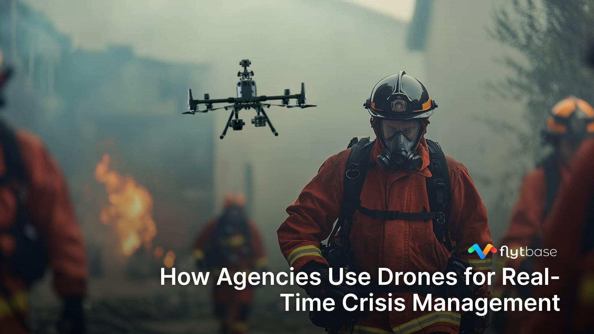
Over the past decade, drones have evolved to be much more than flying cameras. They have been helping save lives by reaching areas that are too dangerous for people. This is especially important in emergencies, where every moment counts. By using drones, we are completely transforming the way we respond to these situations.
This blog delves into understanding how drones are changing the way first responders work. It explores how drones can help attain situational awareness in emergencies, like natural disasters or even 911 calls. Drones help first response services like police units, paramedic emergency services, and SWAT teams allocate optimal resources.
What do Drones as First Responders (DFR) mean?
Using drones as first responders means strategically utilizing uncrewed aerial vehicles (UAVs) to quickly respond when there's an emergency. Drones are crucial for giving real-time information and helping the teams on the ground make better decisions before they reach the location. However, the roles of these first responder drones differ across various emergency situations.

In search and rescue operations, drones provide an aerial view of large areas quickly, and since they are equipped with thermal imaging and cameras, they can locate missing persons or assess the extent of a disaster, helping responders plan and execute more effective operations. Whereas, in wildfire situations, along with thermal cameras, the drones are equipped with sensors that can monitor the spread of the fire, assess its intensity, and identify hotspots. This real-time data enables firefighters to make informed decisions and ensure the safety of both responders and residents.
The key benefits of using drones in public safety and emergency response
Drone operations bring unique advantages compared to usual emergency responses. They're more efficient, safer, and give a real-time understanding of situations, among other benefits.
During one of the sessions at NestGen ‘24, Charles Werner, Director at DRONE RESPONDERS said, “This ability to have reconnaissance in advance of ground units arriving is a game changer. It gives situational awareness to let them know what they're facing, and in more cases than not, it de-escalates the situation because of knowing that information.”
Here are some key advantages of using drones as first responders.
1. Enhanced Safety:
Drones act as a force multiplier by mitigating risks for responders, on-site personnel, and the surrounding community. With the ability to assess situations from above, drones can identify potential hazards, allowing responders to plan and execute operations more safely.
2. Operational Effectiveness:
Improved decision-making is at the core of the operational benefits of drones as first responders. The data collected by drones, including high-resolution images and live video feeds, offers a comprehensive view of the emergency. This enhanced situational awareness enables responders to formulate precise and effective strategies.
3. Situational Awareness:
Real-time video streaming is a game-changer in crisis management. Drones equipped with advanced sensors and cameras provide a live feed to responders, allowing them to assess the evolving situation remotely. This real-time information is crucial for understanding the scope of the emergency and optimizing response efforts.
4. Resource Optimization:
Drones contribute to resource optimization by providing actionable intelligence. The data collected allows emergency services to allocate resources more efficiently, ensuring that personnel and equipment are deployed where they are most needed. This targeted approach enhances overall response effectiveness.
Having explored the benefits of drones in emergency response, it is also important to know the hardware best suited for these operations.
Best drones and drone hardware for emergency response

In situations where lives are at stake, precision in selecting hardware for emergency response is necessary. The hardware, including drones, payloads, and docking stations, must be carefully chosen for Drone as First Responder (DFR) operations. Here's a curated list of hardware efficient for emergency response.
1. Drones
Ideal for first response, the Matrice 350 RTK has a thermal camera, a 55-minute flight time, and an impressive 20 km transmission range. Its robust design allows it to carry up to 2.7kg of payload, a significant advantage in emergency scenarios.
DJI Mavic 3T: Well suited for public safety, the Mavic 3T drone stands out due to its integrated thermal IR camera, a flight time of 45 minutes, and a maximum transmission range of 15 km.
DJI M30T: The DJI Matrice 30T is a reliable choice for search and rescue operations, equipped with a thermal camera and offering a flight time of 41 minutes. With a maximum transmission distance of 15 kilometers, it ensures seamless communication.
Skydio X10: The Skydio X10 drone offers a flight time of 40 minutes and features a thermal camera. It acts as a force multiplier for first responders, enhancing operational capabilities in emergency situations.
2. Payloads
DJI Zenmuse H20T: Featuring a 20 MP zoom camera, a 12 MP wide camera, and a radiometric thermal camera, the Zenmuse H20T can be used for security and public safety applications.
DJI Zenmuse H20N: With dual zoom thermal cameras, a laser rangefinder, and starlight sensors, the Zenmuse H20N sets a new standard for security and rescue operations in low-light conditions.
CZI LP12 Spotlight & Loudspeaker 2-in-1 Payload: Offering combined lighting and broadcasting capabilities in a lightweight 288g package, the payload seamlessly integrates with the DJI Matrice 30 Drone for enhanced functionality.
3. Docking stations
DJI Dock: The DJI Dock, a robust and adaptable drone charging station, ensures a quick 25-minute charging time with active temperature control for swift and secure drone charging during emergencies. Its durability and modularity make it ideal for remote operations in challenging weather, providing a reliable solution for first response during emergencies.
Hextronics Global Advanced: A smart, lightweight drone dock featuring rapid battery-swapping in under 90 seconds. Its robust design makes it well-suited for challenging environmental conditions, specifically tailored for efficient drone fleet management during emergency responses.
Real-world case studies of drones being used by emergency responders
Ever wondered how drones are practically being used as first responders? Let's take a look at some real-life examples and applications of drones in action.
Chula Vista’s DFR program:
The Chula Vista Police Department launched the Drone as First Responder (DFR) Program back in 2018. This program uses drones to quickly respond to emergencies by providing real-time video feeds to both the operations center and field units. It helps improve situational awareness and assists in calming down situations. The program has been able to respond to a total of 18,571 calls and make 2,537 arrests.
On average, they were able to arrive at the scene within 93.79 seconds, making them the first responders. This program played an important role in promoting public safety and is a key part of Chula Vista's Smart Cities initiative led by Chief Roxana Kennedy's Innovation Initiative.
.jpg)
Disaster management in Alaska using DJI Dock:
The Alaska Department of Transportation employed DJI technology, specifically the DJI Dock and Matrice 30 drone, for avalanche and geohazard mitigation. Operating 24/7 in challenging conditions, the DJI Dock facilitate critical mapping and surveillance missions, providing invaluable data for roadway safety in upper elevations. Highlighting the efficiency and versatility of these solutions, the case exemplifies the broader capabilities of drones, extending beyond security applications and contributing significantly to public safety.
.png)
With FlytBase you can automate drone operations and make your DFR programs more quick and efficient.
How does automation enhance drone operations in today’s era?
First response and emergency services require managing drone fleets. In either case, such a system would require the optimal combination of hardware and software so that it can operate intelligently and reliably while also being scalable. FlytBase provides a robust drone autonomy software platform to minimize reliance on human pilots. In the case of an emergency, FlytBase simplifies the response process for quick and effective actions.

- Firstly, the platform assists in site management, allowing users to create a site on a map and assign a relevant name. Registered devices and members are then assigned to the specific site, facilitating coordination across multiple locations or teams during emergency response operations.
- For situations requiring urgent drone deployment, FlytBase provides integration with external dispatch and alarm systems that send triggers about the emergency scenario, enhancing incident response.
- In addition to that, Computer Aided Dispatch (CAD) systems and emergency response tools can be seamlessly integrated to dispatch drones to the incident autonomously. Once the alarm is raised, the drone is dispatched to the identified location autonomously.
- While the drones are airborne, they receive critical data like position and altitude, from other aircrafts using Automatic Dependent Surveillance-Broadcast (ADS-B) technology. This helps reduce the risk of collisions.
- To facilitate real-time coordination, FlytBase enables the operators to communicate directly from the platform among the team using audio chat. This instant communication proves to be crucial in making prompt decisions during emergency drone operations. The platform also offers an Annotations feature that enables operators to mark observations, creating a systematic record for critical situational awareness.
- Moreover, ground operators like emergency service organizations, police units, and SWAT teams, can efficiently contribute to collaboration by being able to receive real-time visual data across devices and networks.
Drones, through automation, can systematically collect data from the emergency site. This includes aerial imagery, environmental conditions, and any vital information relevant to the crisis. Automation streamlines the data collection process and provides real-time critical data for informed decision-making.
Once the mission is accomplished or the drone's battery approaches a critical level, the drone autonomously goes back to its docking station for recharging. This also ensures that the drone can be swiftly redeployed if needed, maintaining a continuous presence in emergency response efforts.

Regulations, resources, and other essential considerations
Understanding the regulations, overcoming challenges, and ensuring the right training for operators are critical aspects of deploying drones for public safety. In this section, we will take a look at brief descriptions of these crucial components.
Regulatory Landscape for Public Safety Drones
Ensuring compliance with evolving drone regulations is crucial for public safety agencies. The regulations require agencies to stay informed, obtain necessary certifications, and collaborate with authorities to establish clear operational guidelines. Flexibility and adaptability are key in navigating regulatory changes, ensuring that drone programs comply with safety standards without compromising emergency response.
Challenges and Considerations
Despite the benefits, using drones in public safety poses challenges that demand careful consideration. Privacy issues, public perception, and potential technological limitations must be addressed. Technical factors like weather conditions and airspace restrictions also need thoughtful consideration. A clear understanding of these challenges is important for optimizing the advantages of drone deployment.
Training and Resources for Drone Operators
Drone integration in public safety relies heavily on trained operators. Thus, operators need proficiency in both technology and emergency response protocols. Regular training is necessary to keep up with technology upgrades and evolving regulations. This directly contributes to the success of public safety initiatives leveraging drone technology.
Way ahead
In conclusion, integrating drones as first responders offers a unique set of capabilities that complement traditional methods, enabling faster response times, enhanced situational awareness, and improved resource allocation.
While drones with advanced sensors and imaging technologies can make emergency response easy, automation makes it more efficient and scalable with minimal human intervention. Whether it's search and rescue operations, wildfire monitoring, or medical emergencies, automated drones offer a bird's-eye view that allows responders to assess the situation rapidly, identify hazards, and make informed decisions to mitigate risks.
FAQs
Q. What are the top functionalities needed in a drone for a Drone as a First Responder (DFR) program?
The key functionalities of a DFR program include remote piloting capabilities, autonomous launch and recharge, and quick response.
Q. Who serves as the remote pilot in command in a DFR program and how does the transition occur in semi-autonomous deployments?
The remote pilot in command is typically a dedicated operator within the DFR program. In semi-autonomous deployments, the pilot in the office retains control, ensuring a smooth transition in case manual intervention is required.
Q. What reporting requirements do DFR programs adhere to, and how do they manage airspace regulations?
DFR programs follow extensive reporting requirements, especially for complicated technologies. They report incidents within a specified altitude range, often wider than their operational altitude.
FAQs
Find quick answers to common questions about compatibility, setup, features, and pricing


.webp)
.svg)
.webp)


