Get Your Free Drone Autonomy Guide Today!

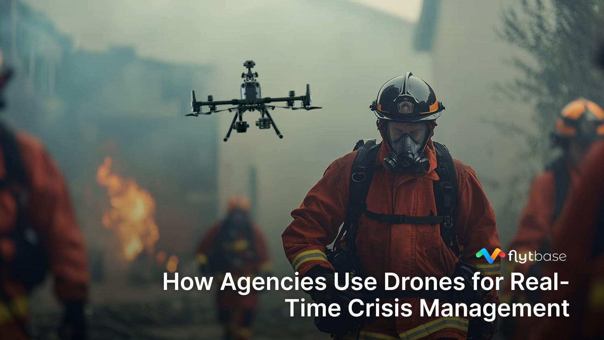
Drones are bringing in a revolution in public safety in the same way that technologies like body-cams have done in the past. They are making incident response operations not only safe and effective but also remotely visible and manageable. In a study conducted by the Bard Institute, it was found that 910 state and local law enforcement personnel in the US have used drones for law enforcement or any other public safety operations.
How Drones are Being Used by Police Departments
In a 2018 guide from policeone.com, a survey was conducted asking more than 200 police officers in the US about how their respective departments are using UAVs. Below are the top findings:
- 83% of the respondents said that UAVs were used for search and rescue.
- 79% said that UAVs were used for disaster management.
- 76% said that UAVs were used for SWAT operations.
- 71% said that UAVs were used for monitoring crime and traffic.

In the same survey, it was also found that drones from DJI were mostly preferred.
Benefits of Using Drones in Law Enforcement
Drones are being rapidly adopted by various law enforcement agencies throughout the world because of the following advantages:
- Drones are ideal first responders: Drones are faster than conventional vehicles when used as first responders. They can reach a location within minutes after receiving an emergency request, and aerially assess the situation before human responders arrive.
- Drones are a cost-effective way to conduct aerial surveillance: The conventional method of deploying a manned helicopter is expensive and time-consuming, and may not be suitable for situations that require an immediate response.
- Drones can potentially save lives: Drones can be equipped with various attachments depending on the task; these payloads can be controlled by a single officer from a safe distance. This is useful in dangerous situations like counter-insurgency, hostage rescue, car-chase, etc. where a police officer can engage a perpetrator from a safe distance without risking the officer’s life. In a recent event, AirWorks 2019, DJI has announced that 279 lives were saved by using drones in various emergency operations.
- Drones are a potent public safety tool: Drones can cover a large area easily, and they can be equipped with thermal sensors. These make them effective in search and rescue operations.
{{pdf-form}}
Types of Drones Used by Police Departments in the US
From our interactions with public safety users, we found that drones for public safety solution can be equipped with thermal sensors and a camera with high zoom capability are most preferred for first responder operations. Both off-the-shelf and custom drones are used for police operations, such as:

{{guide}}
What Kind of Payloads are Used for Incident Response Drones?
Drones give people access to the sky, and an aerial view of the activities happening on the ground, especially via payloads that are integrated with commercial drones. Here are some payloads that are used for police and public safety operations:

- Optical sensors: In the context of drone technology, these are devices that can record high definition videos, some examples include:
- Zenmuse Z30 is a camera from DJI that has a 30X zoom, which can be helpful in operations involving surveillance and tracking.
- Zenmuse X5S is another capable camera from DJI that can easily shoot 4K videos.

- Thermal sensors: These are devices that can render infrared radiation, which is not visible to the eyes, into visible colors. Various shades of blue and red are used to denote a range of temperatures. Some of the popular payloads include:
- DJI Zenmuse XT
- FLIR Vue Pro
- FLIR Duo Pro
- FLIR Tau 2 To know about the factors to consider when selecting a thermal camera for a commercial drone application, read this blog.

- Loudspeakers: Large drones are capable of carrying loudspeakers, which can be used for making announcements and for crowd control.
- Spotlights: These are important payloads for night-time or low visibility operations, especially for search and rescue missions.
- Beacons: Beacons help drones to stay visible in the sky especially during night time, thus warning others of their presence.
How FlytBase Enables Drones for Law Enforcement
FlytBase is a cloud-based drone fleet management solution that can be used to deploy an effective first responder system, where drones are controlled and managed from a unified dashboard.
The solution leverages 4G/LTE/5G networks for Beyond Visual Line of Sight (BVLOS) or Extended Visual Line of Sight (EVLOS) flights and for the streaming of high definition (HD) quality videos. Below is an illustration of how the system works:

The following features of FlytBase can enable drone for law enforcement for officials in the following ways:
Live video monitoring
A drone connected to the FlytBase system can send high quality, live video feed directly to the cloud dashboard; from there, an operator has the option to share the stream with multiple, remote stakeholders.
This feature played a crucial role during the 2020 COVID-19 lockdown in India. A startup called Dronelab with the help from volunteers and the police flew drones all over Ahmedabad (an Indian city in the state of Gujarat) and streamed their video feed directly onto the FlytBase dashboard at the central control room.
This allowed the authorities to keep a watchful eye for people breaking social distancing norms, or violating the lockdown imposed by the government.
“According to Nikhil Methiya, Director of Dronelab, The “Flytbase solution has played an important role in our operations to mitigate the public health impact of COVID-19. It allowed us to deploy drones at scale, and features like live video streaming and guest-sharing helped us fulfill our aerial monitoring objectives while keeping the necessary authorities in the loop.”

Thermal Camera Integration
Thermal sensors are useful in missions like search and rescue, night-time surveillance, firefighting, etc. With FlytBase, remote drone operators can stream thermal feeds from multiple drones and gain better situational awareness of an evolving situation, and thus assist ground operators in real-time.

Remote Control
A single operator can use the FlytBase dashboard to control multiple drones, including the camera gimbal of each drone. Such a capability is quite useful in operations that require the coverage of a large area from multiple perspectives; for example, search and rescue, surveillance, manhunt, etc.

Map Annotation and Video Archive
An operator using the FlytBase dashboard has access to a map with the real-time location of all drones connected to the system. During a mission, the operator can pin crucial information captured by a drone directly onto the map.
The feature is useful to highlight evidence or other important details during aerial missions. The cloud-connected platform supports the storage of video in a secure, external, public/private cloud server, so that videos captured during a mission can be reliably archived.

Intelligent Mission Planning
A mission is a set of instructions that tells a drone how to reach a location and what to do once it reaches the location. This feature can be used to dispatch drones to a particular location in the event of an emergency.
Phirst Technologies, a US-based company, developed a solution called First iZ using FlytBase & FlytBase, which integrates with the CAD (Computer Aided Dispatch) system to power the 911 service in Tyler, Texas, US. The solution allows 911 operators to remotely dispatch drones as first responders, to an emergency site, from a unified dashboard. Read the full case study.

Hardware Agnostic Platform
Drones are like tools; depending on the task, different kinds of drones are required for police activities. FlytBase as a platform is hardware agnostic since it supports both off-the-shelf, as well as custom drones based on PX4 and Ardupilot autopilots.

Summary
In this blog, we learned the benefits of using drones for law enforcement and public safety. We also covered what kind of drones and payloads are suitable for police departments and first responder, and how FlytBase enhances such operations.
Frequently Asked Questions (FAQs)
Q 1. Should police departments use drones?
Ans: Yes! Drones are already in use by police departments and law enforcement agencies. In a study conducted by the Bard Institute, it was found that more than 300 state and local law enforcement officials are already using drones in some way or the other.
Q 2. Can law enforcement fly UAV over private property?
Ans: The ownership of the airspace above a private property generally ends beyond 50 feet. So any licensed drone can fly at that height over any property. Still, the intricacies of the law will defer from country to country.
Q 3. How drones can be deployed by law enforcement agencies?
Ans: Drones can be deployed in the traditional sense, where a pilot in the field operates a drone via an RC close to the scene of action. But the modern approach leverages the cloud infrastructure to deploy drones from a base station without human intervention. The entire operation is controlled using a fleet management system that provides a unified dashboard and integration with response systems like the 911.
Q.4 What are the Best Law Enforcement Drones?
Ans: 1. Surveillance: Police drones can be used to monitor large crowds or areas for suspicious activity, such as illegal gatherings or drug deals.
2. Search and Rescue: Police drones can be used to quickly locate missing persons or suspects in large areas.
FAQs
Find quick answers to common questions about compatibility, setup, features, and pricing
Yes! Drones are already in use by police departments and law enforcement agencies. In a study conducted by the Bard Institute, it was found that more than 300 state and local law enforcement officials are already using drones in some way or the other.
The ownership of the airspace above a private property generally ends beyond 50 feet. So any licensed drone can fly at that height over any property. Still, the intricacies of the law will defer from country to country.
Drones can be deployed in the traditional sense, where a pilot in the field operates a drone via an RC close to the scene of action. But the modern approach leverages the cloud infrastructure to deploy drones from a base station without human intervention. The entire operation is controlled using a fleet management system that provides a unified dashboard and integration with response systems like the 911.
1. DJI Mavic 2 Enterprise Dual 2. Autel Robotics EVO II 3. Parrot Anafi Thermal 4. Yuneec H520 5. DJI Matrice 300 RTK
1. Surveillance: Police drones can be used to monitor large crowds or areas for suspicious activity, such as illegal gatherings or drug deals. 2. Search and Rescue: Police drones can be used to quickly locate missing persons or suspects in large areas.


.webp)
.svg)
.webp)


