FlytBase Forensic Search
AI-powered visual search for drone footage. Find anything in your media with natural language, images, or text - pinned to a map.
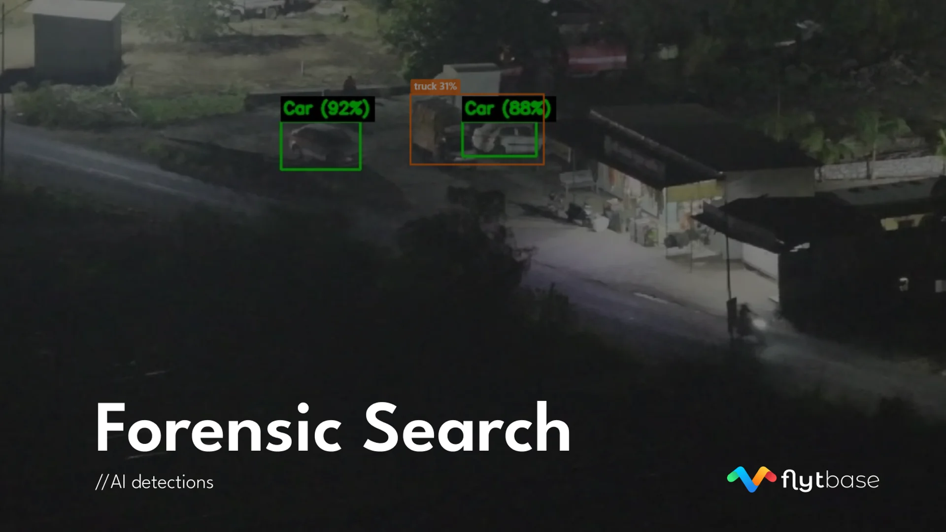
Turn hours of drone footage into searchable, actionable intelligence. Forensic Search is a multimodal visual search engine built for SOC analysts, inspection engineers, and security teams working with large volumes of drone and surveillance media. Instead of scrubbing through hundreds of videos, describe what you're looking for in plain language - or upload a reference photo - and get geotagged results in seconds.
A clean sidebar walks you through the investigation journey: Media Library, Processing, Investigate, Findings, Monitoring. Inline help tooltips, a command palette, and a restartable tutorial make the platform approachable for new users while staying powerful for experts.
What you can do
- Search by description - "person near fence at night", "cracked solar panel on rooftop", "red vehicle in parking lot". Natural language, no query syntax to learn.
- Search by image - Upload a photo and find visually similar content across every mission and site.
- Read text in media - Find serial numbers, license plates, warning signs, or any text visible in your footage.
- Combine inputs - Pair a reference image with a text description for precise matching.
- Interactive map - Every result is pinned in space. Filter by drawing a bounding box, radius, or polygon on the map. Toggle flight paths, 3D terrain, and altitude lines.
- Object detections - AI bounding boxes on every processed frame. Click any object to find similar, collect as evidence, or add to your watchlist.
- Findings & reports - Geotag screenshots with notes and categories (intrusion, anomaly, damage, maintenance). Export as PDF or CSV.
- Watchlist & alerts - Track specific objects across every new upload. Get notified the moment a match is detected.
- Processing dashboard - See which missions and date ranges are fully AI-processed at a glance. Bulk process what remains with one click.